
ORGANISER:
PİRİREİS ASSOCIATION
VENUE AND DATE:
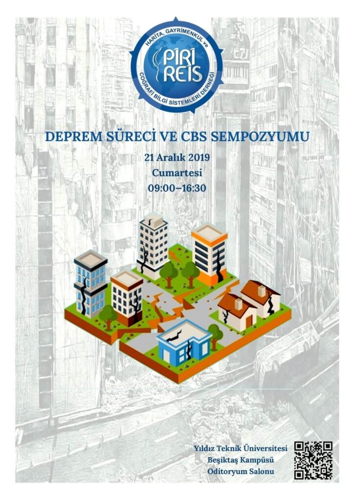
21 DECEMBER 2019, YTU AUDITORIUM — BEŞİKTAŞ
PROGRAMME:
09:00 Registration
10:00 Opening and official addresses
Opening Address:
Mustafa Yalçınkaya, President of the Pirireis Association
Hasan Tahsin Usta, Mayor of Gaziosmanpaşa
M. Tevfik Göksu, Mayor of Esenler
Osman Boyraz, Member of Parliament for Istanbul
Fatma Varank, Deputy Minister of Environment and Urbanisation
Murat Kurum, Minister of Environment and Urbanisation (subject to confirmation)
Break — 15 minutes
*Dr. Hüseyin Bayraktar, Deputy Director General of GIS: Briefing on the GIS Decree
12:00 Lunch
Address: Kâğıthane Ofis Park, Merkez Mahallesi No:14-4 C, Kâğıthane/Istanbul
Tel: +90 (212) 939 38 42, email: pirireis@pirireisharita.org
13:00 Earthquake Processes and GIS Session
Session Chair: Prof. Dr. Tahsin Yomralıoğlu
M. Zeki Adlı, Director General of Land Registry and Cadastre
Dr. Mehmet Güllüoğlu, President of AFAD
İsmail Tüzgen, Director General of GIS
İsmail Şener, Founding Member of the Pirireis Association
Prof. Dr. Uğur Doğan, YTU Faculty Member
Assoc. Prof. Dr. Himmet Karaman, ITU Faculty Member
16:30 Closing
Conference Scope
The Earthquake Processes and GIS Symposium organised by the Pirireis Association recognises that, considering
the earthquakes expected in the near future and the aftershocks already experienced,
living with earthquakes is an unavoidable reality, particularly in a metropolis such as Istanbul,
home to nearly twenty million people. The adequacy of the precautions and
measures taken is being questioned by academics, urban administrators, government and
citizens. When we consider how the surveying engineering profession can contribute
to work on this pressing issue, the approach that comes to mind is the use of GIS
as the most effective tool. GIS combines and synthesises physical-environment and social analyses
and links tables and charts to maps. In today’s information age, it is a supporting
tool for engineers, urban planners and administrators.
GIS consists of software, hardware, supporting tools and users. Together, they
transform geographically referenced spatial data into information by determining the locations
and positions of static and dynamic features in the natural and built environment,
their spatial interactions and geographical relationships.
Address: Kâğıthane Ofis Park, Merkez Mahallesi No:14-4 C, Kâğıthane/Istanbul
Tel: +90 (212) 939 38 42, email: pirireis@pirireisharita.org
In recent years, rapid population growth has led to uncontrolled urban expansion
into areas with unsuitable ground conditions. Data obtained through sensitivity analyses
of parameters describing ground conditions can be combined
to understand their interrelationships more reliably. To carry out all
these processes, the data must be linked to geographic coordinates,
analysed using statistical or mathematical methods, and presented visually.
The adverse consequences of earthquakes arise from
population density, inappropriate land use and construction resulting from
a lack of planning.
*Decree on Geographic Information Systems
Presidential Decree No. 49 on Geographic Information Systems was published in
Official Gazette No. 30941 dated 7 November 2019.
(https://www.resmigazete.gov.tr/eskiler/2019/11/20191107-9.pdf ).
Presidential Decree No. 49 was published in Official Gazette No. 30941
on 7 November 2019 and entered into force to ensure coordination among public institutions
regarding the Turkish Geographic Information System and its infrastructure; establish goals and strategies;
and set procedures, principles and standards for producing, updating, managing,
using, accessing, securing, sharing and distributing geographic data and information within geographic data themes.
It also defines the duties, powers and responsibilities of the boards established under the decree,
public institutions and organisations, and natural and legal persons
within this framework.